The Hyde Avenue Combined Sewer Overflow
Why we care: This CSO (Combined Sewer Overflow) is a major contributor to flooding in the area between Weston Road and Jane Street, and contributes to basement flooding due to surcharge of the Black Creek Sanitary Trunk Sewer affecting basements as far north as Finch Avenue. In dry weather, the combined sewers keep sewage and runoff separate. During a storm, they combine, delivering sewage into the creek, and storm water into basements.
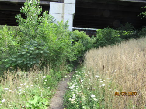
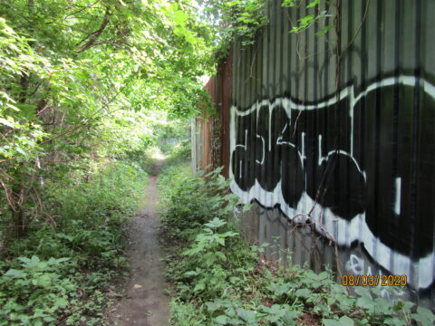
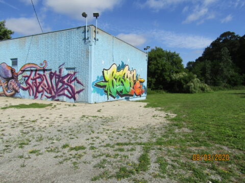
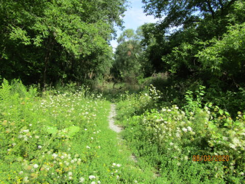
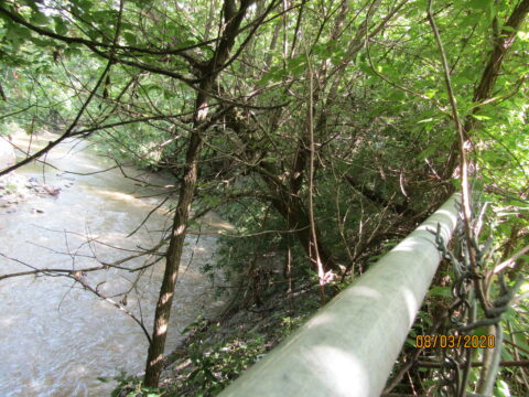
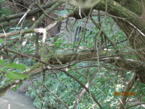
Access: In years past, students walking to York Memo kept a path open from Weston Road through Keelesdale Park. That path is now largely overgrown, with some fallen trees adding to the difficulties of walking in the valley. A determined hiker can still make the trip in dry weather. Via car ( Rogers Rd/Forbes Ave/Hyde Ave) or on foot walking in from Weston Road just south of the Black Creek bridge gets you to the blockhouse for the Hyde Avenue Combined Sewer Overflow. On foot, you will go under the two railway bridges and then see industrial sites on the right, and the rear of the Hyde Tank blockhouse. Some loose stone fill under the bridge, but a reasonable natural path if wearing sensible footwear. It is typically used by students going to George Harvey secondary school, as well as workers in the industrial area. Immediate access to the combined sewer outlet is problematic at present due to wet conditions and fencing.
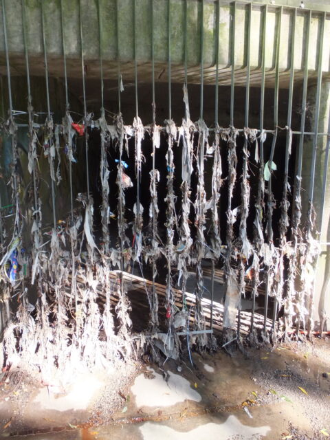
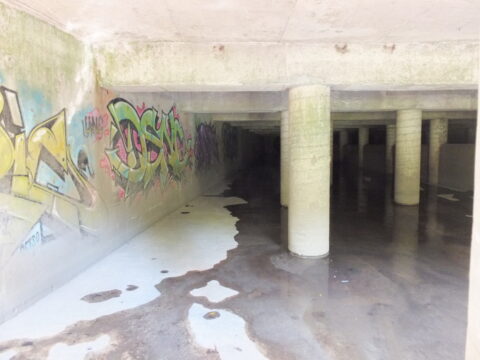
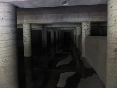
Pictures: Hovering on the picture gallery should start a slide show. The pictures give a good idea of the size of the “holding tank” that in theory holds sewage when the flow exceeds capacity, as well as pictures of the surrounding area and paths.
Why does the sewer get surcharged?: The real problem is that the creek water is often higher than the tank weir that in theory keeps the sewage out of the creek. Water from the creek enters the tank, and the extreme depth of the water in the tank forces a lot of storm water and dilute sewage into the sanitary trunk sewer. That pressure then blows off the manhole covers on Cordella Avenue and allows huge volume of contaminated water to flow down the street. The tank was built in the 1970’s, obviously without a clear understanding of water levels during storm events.
Close examination of the pictures shows the height of the weir that traps sewage, and the height of the water during a storm.
More Information: MDCA does NOT encourage exploring the sewers, but we do encourage people to visit http://lostrivers.ca/disappearing.html and http://www.vanishingpoint.ca/lavender-creek-and-grand-trunk-railway-drain to learn more about the history of our underground city. Our community has old infrastructure dating back to steam railway days, and even the ‘modern’ roads do not meet current standards for storm water management.
To Follow: The next Black Creek Fllor Risk to be reviewed will be the Jane Street Crossing, including the restriction of the Black Creek Valley at Jane and at Alliance.

